lifestyle
Getting Around: What Makes Hobart’s Transport Network Unique Compared to Others Around the World
From heritage ferries to the sprawling mountain transit corridors, navigating Tasmania’s capital requires a different mindset than the standard grid systems found in global hubs.
How we reported this
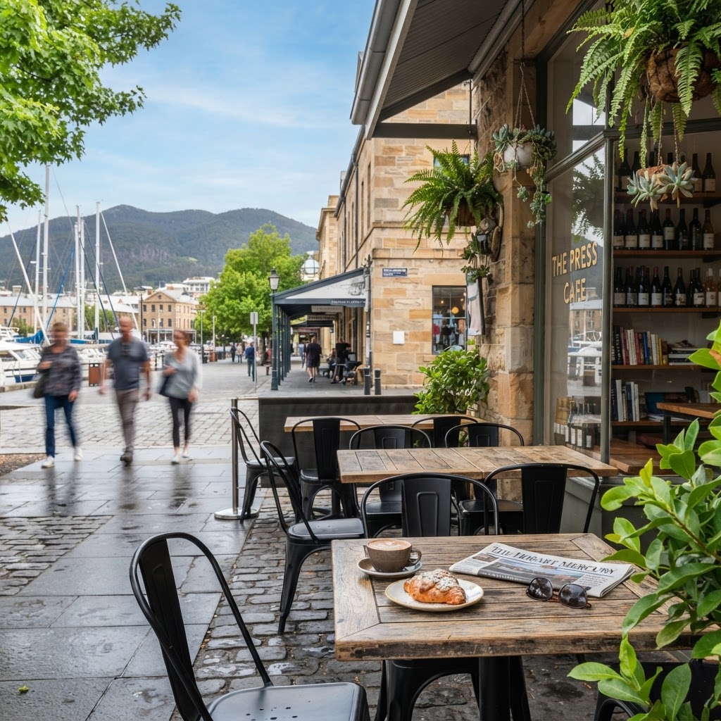
Navigating Tasmania's capital has moved beyond traditional urban transit, with the state government recently realigning its focus toward integrated ferry corridors and the expansion of the Metro Tasmania bus network. While major global cities rely on deep-bore subways, the Hobart experience remains defined by its topography and connection to the River Derwent.
The Waterway Advantage
The reliance on the River Derwent for commuter transport sets Hobart apart from inland metropolitan areas. The ferry services operating between Bellerive and the Elizabeth Street Pier provide a transit experience that bypasses the congestion often found on the Tasman Bridge. This focus on maritime infrastructure is bolstered by the City of Hobart’s long-term transport strategy, which prioritizes multimodal hubs near the waterfront.
For those moving through the inner city, the connectivity between the historic Battery Point neighborhood and the Salamanca Place precinct highlights the city’s preference for pedestrian-friendly urban design. Unlike the car-dependent suburbs found in many North American cities, Hobart continues to emphasize the integration of legacy architecture with modern transit accessibility. The Metro Tasmania services that terminate at the Hobart City Interchange serve as the backbone for those traveling toward the northern suburbs or the foothills of kunanyi / Mount Wellington.
Strategic Shifts in Transit
Data released by the Department of State Growth reflects changing travel habits across the region, noting that while private vehicle use remains common, the uptake of public transport services during the winter months has remained steady. Recent infrastructure investments have targeted the Brooker Highway corridors, aiming to streamline bus reliability during peak morning hours. According to the Bureau of Infrastructure and Transport Research Economics, public transport patronage in Australian capitals remains highly sensitive to fuel price fluctuations and service frequency.
For travelers and residents alike, the most efficient way to navigate the city remains the combination of the Metro Tasmania bus fleet and local ferry services. Visitors should utilize the real-time tracking features available via the official Metro Tasmania website to monitor arrival times. As the city moves into the latter half of 2026, those commuting from the Eastern Shore are encouraged to verify bridge-lane management schedules, as traffic flow remains subject to daily volume fluctuations on the Tasman Bridge. Planning travel outside the standard 8:00 a.m. to 9:00 a.m. peak window often reduces commute times significantly for those traveling into the CBD.