wellness
Top Walking Trails in Tasmania: Routes Rated by Distance and Difficulty
From urban riverside strolls to alpine scrambles above Hobart, here are the best local trails for every fitness level.
How we reported this
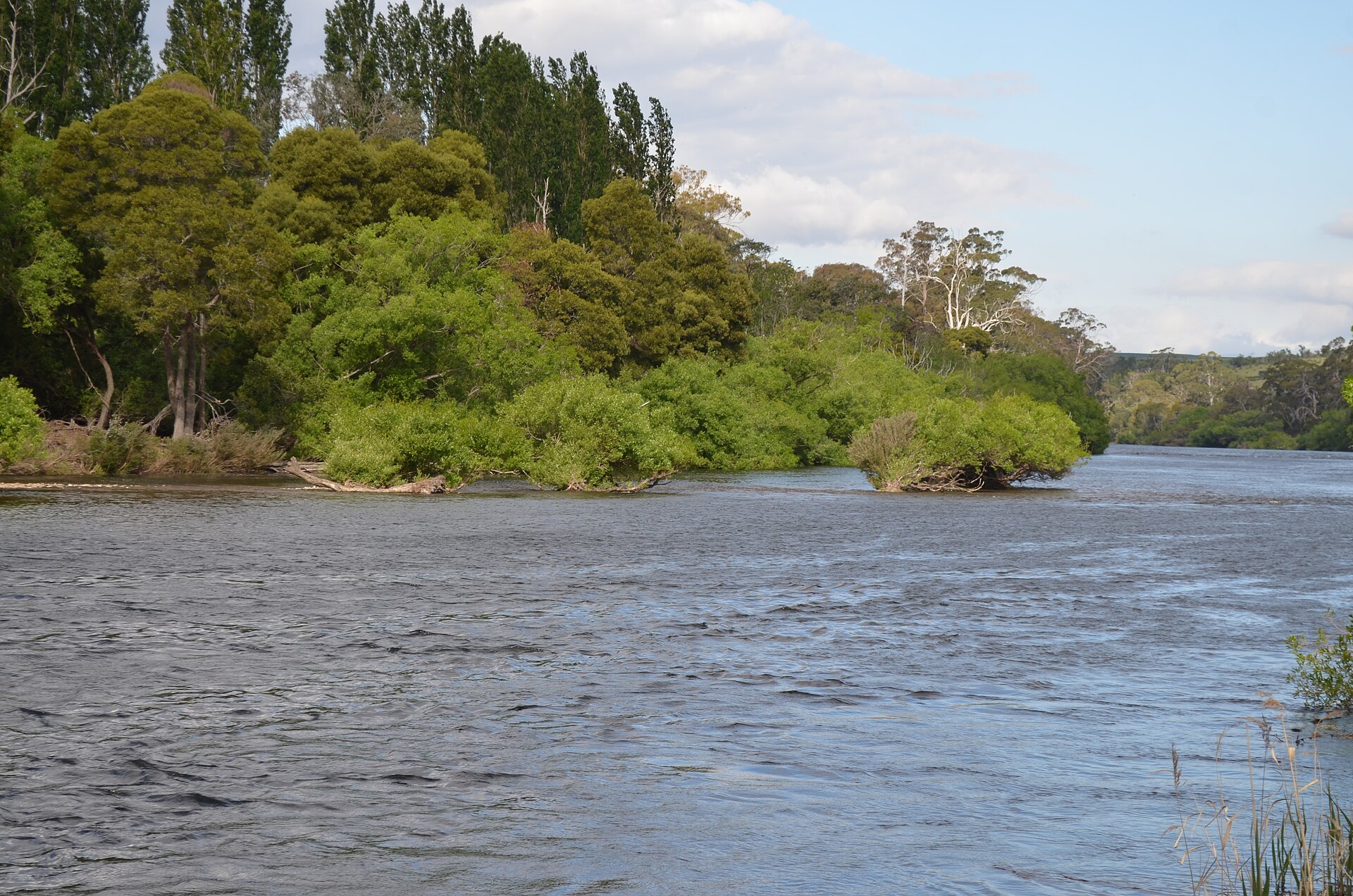
Tasmanian walkers are spoiled for choice, but for anyone looking to match their fitness to the terrain, picking the right trail is critical. The island’s top walking routes now come with updated difficulty ratings and clearer signposting, making it easier than ever to plan a winter hike or a sunny weekend circuit.
With Hobart’s population swelling to nearly 242,000, more locals are venturing outside for exercise. Recent months have seen a surge in walking group memberships and parkrun attendances, while the state’s health department continues to promote walking as a low-cost, accessible way to support both physical and mental wellbeing. This demand for robust wellbeing options comes as flu season peaks and indoor activities remain crowded or, at times, cost-prohibitive for families. Easy, affordable access to the outdoors has never been more top-of-mind.
City Circuits and Mountain Climbs
In Hobart, the Intercity Cycleway and Walking Track offers a flat, 15km riverside greenway stretching from Claremont to the Evans Street waterfront, popular with joggers, prams and cyclists alike. Hobart City Council recently resurfaced a 2.5km section near Cornelian Bay, making the route smoother and safer during the damp winter months. For an even gentler pace, Battery Point’s historic Princes Park loop measures just under 1km and is dotted with benches and interpretive signs detailing Hobart’s maritime history.
Serious hikers often set their sights on kunanyi/Mount Wellington. The Organ Pipes Track (7.4km return, moderate), which starts from The Springs and winds beneath the dramatic columnar rocks, boasts an elevation gain of roughly 400m and typically takes 2-3 hours return. For a true challenge, the Pinnacle Track climbs straight from Fern Tree to the summit (7.6km one-way, hard), a route with 1270m of cumulative altitude gain. Wind chill and ice are factors above 900m even in July, so locals are urged to check council weather advisories before hitting the peak.
Local Stats and Seasonal Updates
Fresh UTAS research shows that 42% of Southern Tasmanians now use public green spaces at least weekly, compared to just 24% five years ago. Event turnout reflects this boom: last Saturday’s Hobart Waterfront Parkrun drew 316 finishers despite brisk temperatures, with the 5km course rated ‘easy’ and fully accessible for wheelchairs and prams. Meanwhile, the Wellington Park Management Trust reports a 31% rise in walking trail usage from 2022 to 2025, especially on intermediate tracks such as the Lenah Valley to Sphinx Rock Walk (4.2km, moderate).
Access remains largely free across public reserves and council-maintained forests. Although some car parks (like those at Springs or Fern Tree) charge $6-8 per day from July through September, most trails-including Knocklofty Reserve’s gentle Summit Track (3.2km loop, easy)-require no entry fee. The Parks and Wildlife Service Tasmania continues to update maps and publish safety alerts at parks.tas.gov.au, where printable guides detail track lengths and surface conditions.
Newcomers are encouraged to consult a GP before attempting high-intensity climbs and to dress for changeable weather. For seasoned locals and visitors alike, picking a walk by difficulty-from flat city boardwalks to technical mountain paths-is the best way to find fresh air and fitness year-round.