wellness
Hobart's Best Walking Trails Rated by Distance and Difficulty
From a flat waterfront loop to the demanding summit of kunanyi/Mt Wellington, Tasmania's capital has a trail for every fitness level, here's how they stack up.
How we reported this
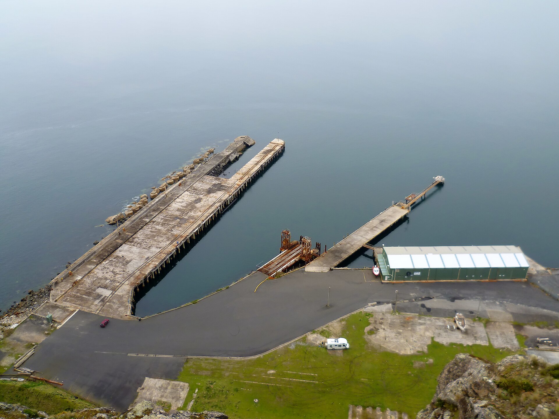
Winter in Hobart has not stopped walkers. Every Saturday morning, dozens of runners and walkers complete the free 5-kilometre Hobart Waterfront parkrun along the Sullivans Cove foreshore, with recent event results showing consistent turnouts through June and into July 2026. The cold, clean air that defines a Tasmanian winter is, for many locals, a selling point rather than a deterrent, and the city's trail network gives them plenty of places to use it.
Tasmania's outdoor fitness culture has never been more visible. Demand for accessible green space has grown sharply across Australian cities since 2020, and Hobart is no exception. The Tasmanian Parks and Wildlife Service maintains an extensive network of graded walking tracks in and around Greater Hobart, and urban trails managed through the City of Hobart council have seen infrastructure upgrades in recent years. For residents weighing their options, whether recovering from injury, building a fitness base, or training for something more serious, knowing the difference between a casual stroll and a genuine physical challenge is the starting point.
The Easy End: Waterfront to Knocklofty
The Hobart Waterfront foreshore walk, running from the Brooke Street Pier north toward the Intercontinental Hotel site and south past Salamanca Place, covers roughly 3 to 4 kilometres return depending on your turnaround point. Elevation gain is negligible. The path is sealed, pram-friendly, and well-lit, making it the natural first step for anyone returning to regular exercise or managing joint issues. The Hobart Waterfront parkrun uses a version of this corridor every Saturday at 8 a.m., and registration through the parkrun Australia website is free.
A step up in difficulty is the Knocklofty Reserve circuit in West Hobart, accessible from Knocklofty Terrace. The loop trail runs approximately 3.5 kilometres with a moderate climb through remnant dry sclerophyll bush. Expect some loose rock and uneven surface. The reserve sits within the City of Hobart's urban green belt and connects to the longer Collins Cap track for walkers who want to extend their outing toward the Lenah Valley ridgeline. It's a genuine workout without requiring specialist gear.
The Pipeline Track, which runs along the lower slopes of kunanyi/Mt Wellington from Cascade Road in South Hobart toward the Springs, is another intermediate option. The track covers around 5 kilometres one way at a consistent but manageable gradient. Dog walkers, trail runners, and casual hikers share it most mornings. Parks and Wildlife Service signage at the Cascade Road entry point rates it as Grade 3, defined as a bushwalk requiring reasonable fitness.
The Hard Yards: Summit Tracks on kunanyi/Mt Wellington
The Organ Pipes Track and the Zig Zag Track represent a significant jump in difficulty. The Zig Zag Track from the Fern Tree suburb rises approximately 700 metres over roughly 5 kilometres to reach the Springs, with the full summit push to 1,271 metres available via connecting tracks. Parks and Wildlife Service grades the summit routes as Grade 4 or Grade 5 depending on the chosen line, meaning they require good fitness, appropriate footwear, and weather awareness. Snow and ice are genuine hazards at the summit in July. The Pinnacle Observatory Car Park sits at the top for those who want to drive up and walk down, a useful strategy for first-timers building confidence.
The Organ Pipes Track branches off from the Zig Zag route and traverses the dramatic dolerite columns that define the mountain's western face. It is rated Grade 4 and covers around 7 kilometres return from Fern Tree. The exposure and loose rock demand solid ankle support and a weather check before departure. The Bureau of Meteorology's Hobart forecast page publishes kunanyi summit conditions separately from city forecasts, worth bookmarking before any high-altitude outing.
The University of Tasmania's Menzies Institute for Medical Research has published work linking regular moderate-intensity physical activity to improved cardiovascular and metabolic health outcomes, findings that align with broader public health guidance recommending at least 150 minutes of moderate activity per week for adults. Walking trails that match your current capacity are the most reliable way to hit that target consistently. Start at the waterfront, build toward Knocklofty, and treat the summit as a seasonal goal. A local physiotherapist or GP can help calibrate the right progression, particularly for anyone managing existing conditions. Hobart's trail network will still be there when you're ready.